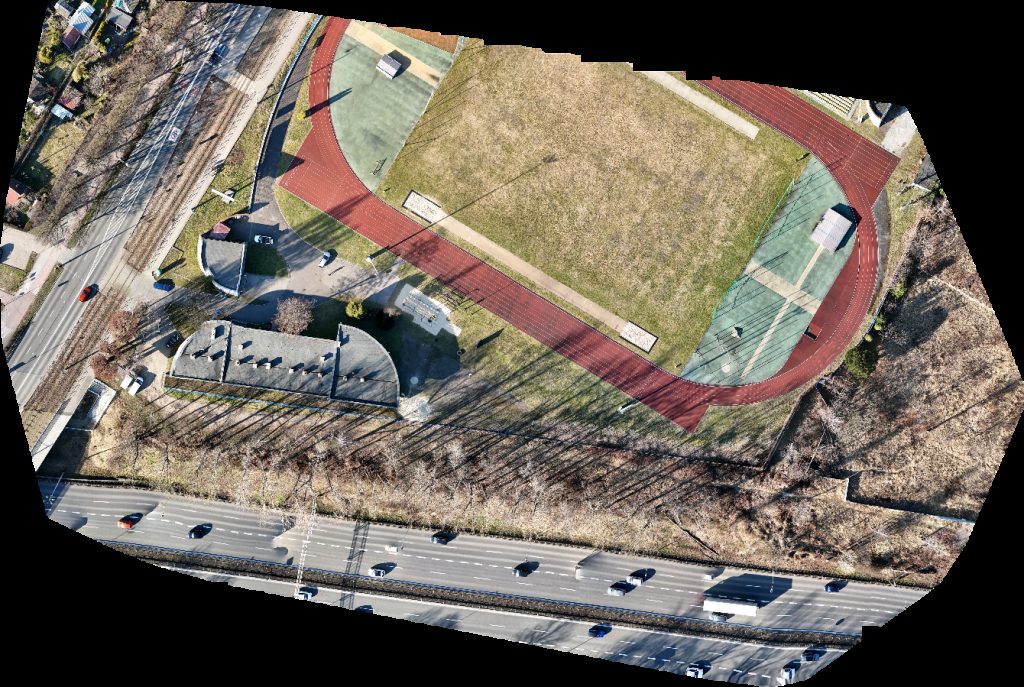
Drone map of Stadion AWF Polski Związek Biathlonu in stadion awf
Processed: March 14, 2026 • Location: Katowice, WOJEWODZTWO-SLASKIE PL
Aerial drone map in Katowice, Wojewodztwo Slaskie, PL
About this map
Processed: March 14, 2026 • Location: Katowice, WOJEWODZTWO-SLASKIE PL
This page displays a browser-based drone map of Stadion AWF Polski Związek Biathlonu in Katowice, WOJEWODZTWO-SLASKIE. Captured and processed on March 14, 2026, the viewer lets you pan, zoom, and inspect details without extra software. Switch visualization modes to emphasize height, edges, or texture. What you can inspect: roofs and facades, grade and elevation, surface materials, and overall site layout. Typical uses include documentation, inspections, construction progress, asset management, and planning. Where available, you can export the textured 3D model (OBJ), point cloud (.laz), and orthophoto (.tif). Location context: centered near Katowice, WOJEWODZTWO-SLASKIE (50.24765° N, 19.01305° W). If you need a new capture for a nearby property, request a local pilot. How it was made: overlapping aerial photos were processed by photogrammetry into a dense point cloud and mesh, then tiled for the web. Processing finished on March 14, 2026. Use the controls to fit the view, toggle visualization, and explore details at full resolution.