Site context
About this 3D model
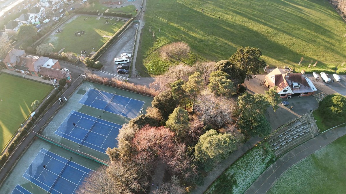
This page displays an interactive drone 3D model of Winton Park Cafe The Parks Foundation in Bournemouth, Christchurch And Poole, England, United Kingdom. The viewer above is the primary experience: pan, zoom, switch visualization modes, and inspect the capture without installing extra software.
It can help review roofs and facades, grade and elevation changes, surface materials, vegetation, and overall site layout. The available project data includes the browser point cloud, textured OBJ model when available, orthophoto, and LAZ point-cloud archive, depending on the outputs generated for this scan.
- Processed
- December 31, 2025
- Location
- Bournemouth, Christchurch And Poole, England, United Kingdom
- Center coordinates
- 50.73970° N, 1.86734° W
- Capture type
- Interactive 3D point-cloud model