Make your own maps and models like this one with your drone. Get Started

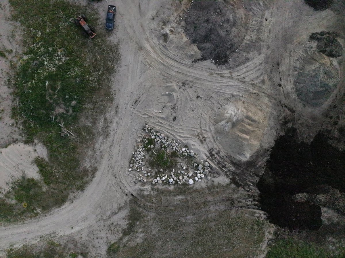
3D Drone Model of Whitefish Lake Fishing Guide John Ross Ontario Provincial Police Superior East Detachment in White River, Ontario, Canada

Interactive 3D model • White River, Ontario, Canada • Processed July 10, 2026

Hover model for lat/lng
Viewer tools
Thumbnail preview for 3D Drone Model of Whitefish Lake Fishing Guide John Ross Ontario Provincial Police Superior East Detachment in White River, Ontario, Canada

Site context

About this 3D model

This page displays an interactive drone 3D model of Whitefish Lake Fishing Guide John Ross Ontario Provincial Police Superior East Detachment in White River, Ontario, Canada. The viewer above is the primary experience: pan, zoom, switch visualization modes, and inspect the capture without installing extra software.

It can help review roofs and facades, grade and elevation changes, surface materials, vegetation, and overall site layout. The available project data includes the browser point cloud, textured OBJ model when available, orthophoto, and LAZ point-cloud archive, depending on the outputs generated for this scan.

Processed
July 10, 2026
Location
White River, Ontario, Canada
Center coordinates
48.60177° N, 85.26550° W
Capture type
Interactive 3D point-cloud model

Common questions

Yes. When downloads are available for this capture, use the Download menu for the textured OBJ model, orthophoto GeoTIFF, or point-cloud archive. Some files may require signing in.

It is useful for documentation, inspections, planning, progress tracking, asset review, and browser-based visual context for a site or property.

Overlapping aerial photos were processed into web-viewable photogrammetry data. Coordinates are shown from the project location and, where available, from the point-cloud projection.